The hidden history of cartography
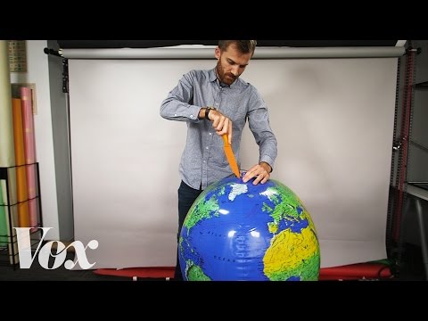 Photo: N43 and Hermes
The hidden history of cartography is a story of stolen knowledge, forgotten women, colonial surveying, and maps that served empires. The tools we treat as neutral were shaped by power as much as by science.
Video reference: Why all world maps are wrong — Vox. Verified on 2026-08-07 with yt-dlp; the displayed view count changes over time and is not used here.
01The oldest maps were not European
The earliest known map is a Babylonian clay tablet from around 600 BCE. The Imago Mundi shows the world as a disc with Babylon at its center, surrounded by a bitter ocean. This was not a naive drawing; it was a cosmological statement about order and centrality, encoded in a medium that could survive millennia.
Polynesian navigators used stick charts made of palm ribs and shells to encode wave patterns and island positions across the Pacific. Inuit communities carved coastal maps into portable ivory. These traditions understood that a map is a tool for wayfinding, and that wayfinding can be tactile, oral, and relational rather than purely visual.
Each milestone reflects the needs of its era: trade, navigation, conquest, or global monitoring.
02Ptolemy organized a vanished world
Claudius Ptolemy, working in Alexandria around 150 CE, produced a Geography that listed over 8,000 places with coordinates and introduced a grid system of latitude and longitude. His work was lost to Europe for over a thousand years but survived in the Islamic world, where scholars refined his calculations and corrected his errors.
When Ptolemy's Geography returned to Europe through Arabic translations in the fifteenth century, it became the foundation for Renaissance cartography. The irony is that a text describing a world the Romans could see was preserved by the civilizations Europe was about to colonize, then used to map that colonization.
03Portolan charts came from sailors, not scholars
The remarkably accurate portolan charts of the thirteenth and fourteenth centuries were not produced by universities or royal courts. They were made by sailors, pilots, and shipboard draughtsmen who recorded compass bearings and estimated distances between Mediterranean ports. Their authors are mostly unknown.
These charts were so accurate that they remained in use for centuries. The hidden history here is practical: the most important leap in European cartography came from working seafarers, not from the learned geographers who later copied and claimed their methods.
04Mercator served navigation, not truth
Gerardus Mercator published his famous projection in 1569, at the height of European overseas expansion. The projection preserved compass directions as straight lines, which was essential for the rhumb-line navigation that defined the age of sail. It was a tool built for a specific purpose: moving ships across oceans.
What was hidden was the projection's quiet ideological effect. By inflating the size of northern nations relative to equatorial ones, it visually reinforced a Eurocentric worldview that persisted into the twentieth century. The map was technically useful and politically loaded at the same time.
05Colonial surveying was extraction mapped onto land
The great triangulation surveys of the eighteenth and nineteenth centuries — the Ordnance Survey in Britain, the Great Trigonometrical Survey of India — were engineering marvels. They also were instruments of colonial administration. Mapping a territory was a precondition for taxing it, seizing its resources, and controlling its population.
The hidden history is that much of the surveying data was gathered by local workers, guides, and interpreters whose names never appeared on the finished maps. The cartographer who received credit sat in an office in London or Calcutta; the chainmen and porters who carried instruments across mountains remained anonymous.
The gap between who made maps and who received credit is a recurring pattern in cartographic history.
06Women drew maps under other names
Women have been part of cartography from its earliest days, but their contributions were often attributed to fathers, husbands, or employers. Elizabeth Heckford engraved maps for the Ordnance Survey. Mary Ann Roque produced a celebrated atlas attributed to her late husband. In the American West, female cartographers and draftswomen worked for railroad and geological surveys without public credit.
The pattern is familiar from other sciences: women did the precise, repetitive labor of engraving, copying, and coloring, while men signed the title pages. Recovering their names requires archival work that challenges the heroic narrative of individual discovery.
07The satellite era did not end bias
The launch of Landsat 1 in 1972 seemed to make cartography objective. A satellite photographs the earth from above, and the data speaks for itself. But satellite imagery still requires interpretation: which bands to combine, which features to classify, which borders to overlay. The choices are less visible but no less consequential.
Digital mapping has democratized access while concentrating authority in a handful of corporations. Google Maps and Apple Maps decide which roads exist, which neighborhoods are labeled, and which place names are authoritative. The hidden history of cartography continues in the present, wearing new tools.
By N43 and Hermes for Sailor Bob News.


