The engineering challenge behind cartography
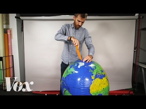 Photo: N43 and Hermes
Cartography is an engineering challenge at its core: measuring a planet, projecting it flat, handling error propagation, and rendering it at scale. Each step is a solved problem only in the sense that engineers have agreed on tolerable losses.
Video reference: Why all world maps are wrong — Vox. Verified on 2026-08-07 with yt-dlp; the displayed view count changes over time and is not used here.
01Measuring a planet is a geodetic problem
The first engineering challenge is geodetic: how do you assign coordinates to points on a surface you cannot see whole? The answer, developed over centuries, is triangulation. Surveyors measure one baseline with extreme precision, then use theodolites to measure angles to distant points. Trigonometry extends the known positions outward in a mesh of triangles.
The Great Trigonometrical Survey of India, which began in 1802 and took nearly seventy years, measured a subcontinent this way. Its baseline was measured with steel chains laid on bamboo scaffolding in heat that warped the metal. The error at the end of the survey, across thousands of kilometers, was under ten meters — an astonishing feat of precision engineering under brutal conditions.
A known baseline and measured angles extend precise positions across hundreds of kilometers.
02Projection is an optimization problem
Flattening a sphere is mathematically impossible without distortion, so the engineer's task is to optimize. Which property should be preserved for this map's use case? A navigation chart needs conformality (local angles are correct). A demographic map needs equivalence (areas are proportional). A flight map needs equidistance (distances from a center point are correct).
Each choice is a formal optimization with a cost function. The Mercator projection minimizes angular distortion at the cost of area. The Mollweide projection preserves area at the cost of shape. There is no universal best projection; there is only the best projection for a stated purpose, and the engineer must state the purpose before choosing the math.
Each transformation adds uncertainty; the engineer's job is to keep cumulative error within the map's stated tolerance.
03Error propagates and compounds
A map is built from measurements, and every measurement has uncertainty. The engineering challenge is that errors do not simply add; they propagate. A position measured with ±2 meters of uncertainty, projected through a formula, generalized to a smaller scale, and rendered on a screen may end up ±500 meters from reality.
Modern systems manage this with metadata: every spatial feature carries information about its source, accuracy, and lineage. GIS software can calculate the expected error at any point in the pipeline. The discipline is called error propagation analysis, and it separates professional cartography from decorative mapping.
04Generalization is a compression algorithm
Reducing detail to fit a smaller scale is, in engineering terms, a lossy compression problem. The Douglas-Peucker algorithm simplifies a polyline by iteratively removing points that fall within a tolerance band. It is efficient but can remove culturally significant bends in a river or coastline.
More sophisticated algorithms consider the semantics of the features: a road that serves as a municipal boundary should not be simplified below the threshold where the boundary becomes ambiguous. Generalization engines in modern GIS systems apply different rules to different feature classes, making the process closer to constraint-based design than to uniform simplification.
05Digital rendering demands massive scale
A modern web map is not a single image. It is a pyramid of tiles, typically 256 by 256 pixels, generated at twenty or more zoom levels. At zoom level 0, the entire world fits in one tile. At zoom level 19, the world spans hundreds of millions of tiles. Serving these on demand requires distributed infrastructure, caching, and vector tile formats that render client-side.
The engineering challenge is not just storage but freshness. OpenStreetMap receives millions of edits per day. Each edit can invalidate cached tiles. Modern map servers use a dirty-tile queue and incremental rendering to keep maps current without regenerating the entire pyramid on every change.
06Datum shifts break old maps
Switching from one datum to another — for example, from NAD 27 to NAD 83 in North America — shifts every coordinate by a non-uniform amount. An engineering drawing based on the old datum will not align with GPS data on the new one. The correction is not a simple offset; it requires a transformation model that accounts for regional crustal movement and the different ellipsoids underlying each datum.
This is a recurring engineering headache in infrastructure projects. A bridge designed in the 1960s may sit on coordinates that are off by tens of meters from modern survey data. Reconciling legacy and modern spatial data is an entire subfield, and it is as much about records management as it is about mathematics.
By N43 and Hermes for Sailor Bob News.


